Case study:Source to Sea Programme – 1. Leighton Moss Resource Protection
Project overview
| Status | In progress |
|---|---|
| Project web site | |
| Themes | Economic aspects, Habitat and biodiversity, Land use management - agriculture, Social benefits, Water quality |
| Country | England |
| Main contact forename | Richard |
| Main contact surname | Cooper |
| Main contact user ID | User:S2S-PO |
| Contact organisation | RSPB |
| Contact organisation web site | http://www.rspb.org.uk/reserves/guide/l/leightonmoss/about.aspx |
| Partner organisations | RSPB, Cumbria Wildlife Trust, Cumbria Woodlands, Lune Rivers Trust, Morecambe Bay Partnership, Arnside & Silverdale AONB Partnership, South Cumbria Rivers Trust |
| Parent multi-site project | |
| This is a parent project encompassing the following projects |
No |
Project summary
This project will deliver a series of measures identified in the Leighton Moss and Haweswater Diffuse Water Pollution (DWP) plan to benefit Leighton Moss SSSI, SPA and Hawes Water SSSI / SAC / NNR. Currently Leighton Moss is failing to meet its WFD objectives. The SSSI / SPA recovering condition is on the basis of the existence of the DWP plan. Delivery of this plan is now required to ensure that SSSI/ SPA status genuinely improves to favourable.
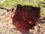
Working with the Environment Agency, Natural England and local farmers and landowners, the project will implement the DWP delivering the following: • Deployment of resource protection farm advisors, to be part of detailed and ongoing discussions with a neighbouring estate, its tenant farmers and a number of private farms, to identify land use change and measures to be implemented. This includes drawing up detailed and costed individual farm plans – this work is crucial to allow discussions to move forward, so implications are fully understood, with the objective of getting these farms into ELS / HLS management. Contract administered by the Arnside & Silverdale AONB Partnership. • Feasibility study for use of constructed wetlands – current catchment studies have identified possible suitable locations for constructed wetlands. Further work is needed to look into the full design, engineering and implications of these. • Implementation of constructed wetlands – once the feasibility work and discussions with neighbouring landowners are complete, capital works are needed to create constructed wetlands. • Capital grant for on-farm infrastructure measures (e.g. slurry pits, roofing) – to complement and extend what was made available via earlier Catchment Sensitive Farming project.
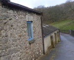
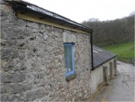
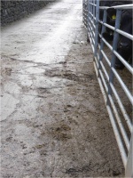
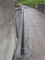
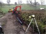
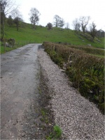
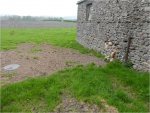
Works include: On-farm remedial measures e.g. separation of foul and rain water.
Monitoring surveys and results
Each month seven water samples are collected by the RSPB on the Leighton Reedbed and six at Hawes Water.
Each quarter this is extended to include three on Barrow Scout and two on Silverdale Moss (18 in total).
Samples are sent off for analysis.
Lessons learnt
Image gallery
|
Catchment and subcatchmentSelect a catchment/subcatchment
Catchment
Subcatchment
Site
Project background
Cost for project phases
Reasons for river restoration
Measures
MonitoringHydromorphological quality elements
Biological quality elements
Physico-chemical quality elements
Any other monitoring, e.g. social, economic
Monitoring documents
Additional documents and videos
Additional links and references
Supplementary InformationEdit Supplementary Information
| ||||||||||||||||||||||||||||||||||||||||||||||||||||||||||||||||||||||||||||||||||||||||||||||||||||||||||||||||||||||||||||||||||||||||||||||||||||||||||||||||||||||||||||||||||||||||||||||


