Uploads by NickRRC
Jump to navigation
Jump to search
This special page shows all uploaded files.
| Date | Name | Thumbnail | Size | Description | Versions |
|---|---|---|---|---|---|
| 14:50, 13 August 2014 | Wensum Swanton Morley floodplain re-connection.JPG (file) |  |
316 KB | Wensum Swanton Morley floodplain re-connection (Environment Agency) | 1 |
| 14:49, 13 August 2014 | Wensum Ryburgh Common meander loop.jpg (file) |  |
369 KB | Wensum Ryburgh Common meander loop (Environment Agency) | 1 |
| 14:48, 13 August 2014 | Wensum River Tat.JPG (file) | 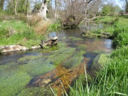 |
444 KB | Wensum Restoration Strategy River Tat (Environment Agency) | 1 |
| 12:43, 14 July 2014 | 12001109 Station Beat Restoration Plan V3.pdf (file) | 4.58 MB | 1 | ||
| 12:43, 14 July 2014 | 12-01-30 Outline plan 1 V3.pdf (file) | 387 KB | 1 | ||
| 12:10, 14 July 2014 | Test@Bossington After2.jpg (file) | 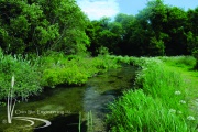 |
3.77 MB | 1 | |
| 12:10, 14 July 2014 | Test@Bossington Before2.jpg (file) | 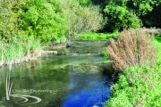 |
4.23 MB | 1 | |
| 12:10, 14 July 2014 | Test@Bossington After1.jpg (file) | 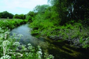 |
3.63 MB | 1 | |
| 12:10, 14 July 2014 | Test@Bossington Before1.jpg (file) |  |
3.7 MB | 1 | |
| 12:09, 14 July 2014 | 2014-06-17 11.17.44.jpg (file) |  |
203 KB | 3 | |
| 12:07, 14 July 2014 | 2014-06-17 10.24.48.jpg (file) |  |
204 KB | 2 | |
| 10:38, 10 July 2014 | Download 8-7-2014 439.JPG (file) |  |
3.95 MB | 1 | |
| 10:37, 10 July 2014 | Download 8-7-2014 432.JPG (file) | 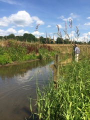 |
3.14 MB | 1 | |
| 10:34, 10 July 2014 | Download 8-7-2014 433.JPG (file) | 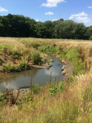 |
3.9 MB | 1 | |
| 10:27, 10 July 2014 | Download 8-7-2014 434.JPG (file) | 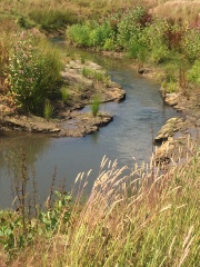 |
2.74 MB | 3 | |
| 14:20, 3 July 2014 | 2014-06-17 12.22.46.jpg (file) |  |
195 KB | 1 | |
| 14:20, 3 July 2014 | 2014-06-17 12.16.00.jpg (file) |  |
183 KB | 2 | |
| 14:19, 3 July 2014 | 2014-06-17 11.14.28.jpg (file) |  |
234 KB | 3 | |
| 14:16, 3 July 2014 | 2014-06-17 11.03.51.jpg (file) |  |
206 KB | 2 | |
| 14:06, 3 July 2014 | 2014-06-17 11.00.23.jpg (file) |  |
229 KB | 1 | |
| 15:01, 16 June 2014 | StAnnsMills17.4.2014Blinding.JPG (file) |  |
57 KB | 3 | |
| 15:57, 6 June 2014 | StAnnsMills5.6.2014.JPG (file) |  |
2.02 MB | 3 | |
| 12:55, 16 May 2014 | Burley Mills Weir July 2013 010.JPG (file) |  |
4.84 MB | 1 | |
| 12:54, 16 May 2014 | Fish pass site at Burley Mills Weir (3).JPG (file) |  |
4.59 MB | 1 | |
| 11:00, 16 May 2014 | PB070367.JPG (file) | 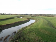 |
2.15 MB | Heavily modified channel of the Nene: dredging and construction of flood bunds to contain high flows disconnecting the river from its floodplain. | 1 |
| 10:49, 16 May 2014 | 08a.JPG (file) |  |
2.45 MB | Cattle poaching causing bank erosion on the Nene. | 1 |
| 10:42, 16 May 2014 | Duston.png (file) | 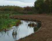 |
3.35 MB | Marginal habitat improvement upstream of St James End Weir at Duston, Northamptonshire. | 1 |
| 10:40, 16 May 2014 | Orton lock.png (file) | 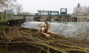 |
5.31 MB | Scour holes at Orton lock packed with woody material. | 1 |
| 10:37, 16 May 2014 | P5020262.JPG (file) | 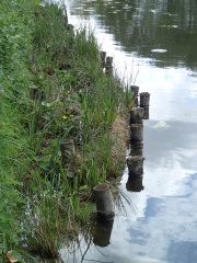 |
2.7 MB | Example of an area of improved urban marginal river habitats on the Nene. | 1 |
| 13:27, 14 May 2014 | MORPH.jpg (file) | 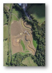 |
52 KB | 2 | |
| 13:06, 14 May 2014 | TRUck2.png (file) | 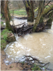 |
202 KB | 3 | |
| 13:05, 14 May 2014 | TRUck.png (file) |  |
276 KB | 1 | |
| 13:04, 14 May 2014 | Truck.jpg (file) | 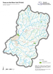 |
47 KB | 2 | |
| 12:38, 14 May 2014 | RAire-Burley-Mills0514.JPG (file) |  |
58 KB | 1 | |
| 12:28, 14 May 2014 | RAire-St-Anns-Mill-Weir0514.JPG (file) |  |
55 KB | 4 | |
| 12:25, 14 May 2014 | CRF032 Project Briefing Note - Kirkstall.pdf (file) | 795 KB | 2 | ||
| 12:23, 14 May 2014 | HUM006 monitoring framework table.docx (file) | 319 KB | 2 | ||
| 11:22, 14 May 2014 | RAire Burley-Mills0514.JPG (file) |  |
2.17 MB | 2 | |
| 11:21, 14 May 2014 | Avon Fifield2.jpg (file) |  |
834 KB | 1 | |
| 11:20, 14 May 2014 | Avon Fifield.jpg (file) |  |
737 KB | 1 | |
| 10:01, 14 May 2014 | P8140084.JPG (file) |  |
1.32 MB | 3 | |
| 09:40, 14 May 2014 | EssexHHRRRaypits1112.jpg (file) | 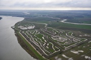 |
656 KB | 2 | |
| 09:34, 14 May 2014 | Goshenhabitatmapping2012-14.png (file) |  |
662 KB | 1 | |
| 09:30, 14 May 2014 | GoshenWeir.png (file) |  |
1.56 MB | 3 | |
| 08:58, 14 May 2014 | EssexHHRR Raypits-1112.jpg (file) | 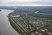 |
656 KB | 1 | |
| 08:56, 14 May 2014 | CRF healthy headwaters area map.jpg (file) |  |
1.41 MB | 3 | |
| 16:35, 13 May 2014 | GreatRyburghEnd 0813.png (file) | 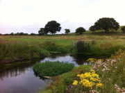 |
1.92 MB | 1 | |
| 16:28, 13 May 2014 | Wensum Ryburgh End.JPG (file) | 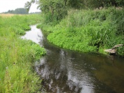 |
378 KB | 1 | |
| 16:02, 13 May 2014 | 800px-2014 April completed Force Crag scheme - John Malley.jpg (file) |  |
179 KB | 1 | |
| 15:59, 13 May 2014 | Ribble rewettedopengrazingpasture.png (file) |  |
1.13 MB | 1 |