Uploads by Miho-kiev
Jump to navigation
Jump to search
This special page shows all uploaded files.
| Date | Name | Thumbnail | Size | Description | Versions |
|---|---|---|---|---|---|
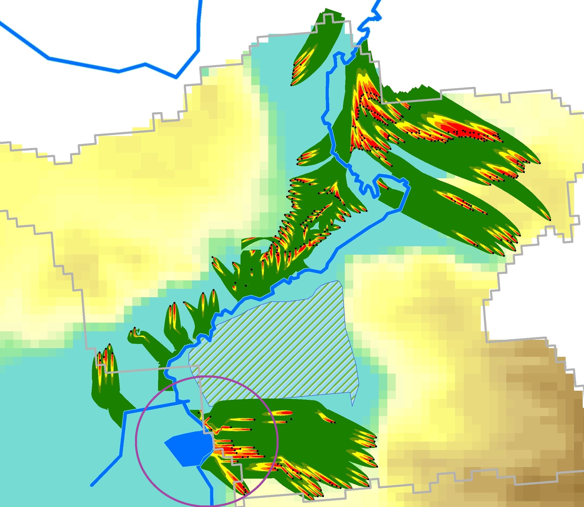
| 08:48, 2 June 2015 | Nitratepaths.png (file) |  |
392 KB | Canalisation is still missing. Groundwater pollution from living places is assessed by GIS-based modelling. | 1 |
| 13:02, 19 May 2015 | Nitratepath.jpg (file) |  |
146 KB | Canalisation is still missing. Groundwater pollution from living places is assessed by GIS-based modelling. | 1 |
| 09:14, 24 April 2015 | Nitratpath.jpg (file) |  |
633 KB | Canalisation is still missing. Groundwater pollution from living places is assessed by GIS-based modelling. | 1 |
| 08:37, 24 April 2015 | Irpinbasinsub.kml (file) | 121 KB | Irpin river basin and subbasin | 1 | |
| 07:10, 9 October 2014 | Irpinsubbasin-water.kml (file) | 190 KB | Irpin basin and subbasin with its river reaches | 1 | |
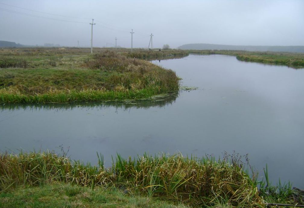
| 07:53, 8 October 2014 | Residents.jpg (file) |  |
422 KB | Private houses exist in the river valley (photo Vasiliy Kostyushin) | 2 |
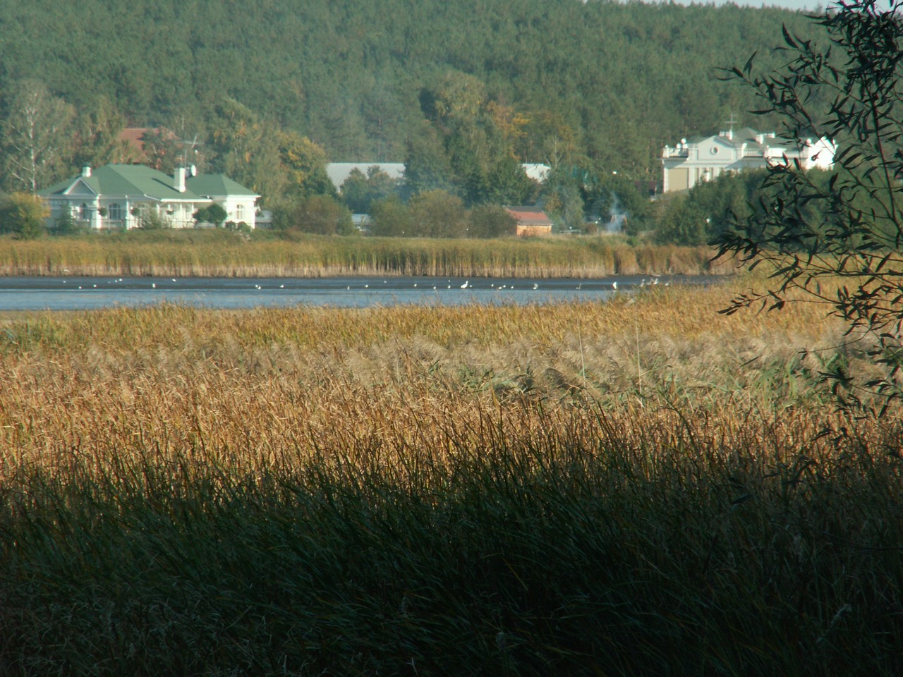
| 07:40, 8 October 2014 | Irpen-open.jpg (file) |  |
96 KB | The Irpin River, a right tributary of the Dnieper River west of Kiev, Ukraine | 1 |
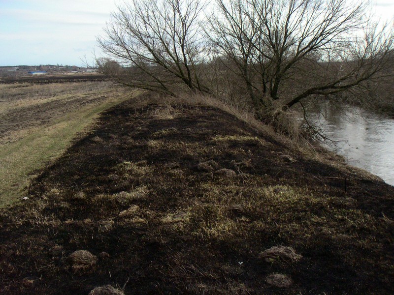
| 11:11, 1 October 2014 | Bankburned.jpg (file) |  |
190 KB | Landuse pressures will be identified and solutions proposed (photo Vasyl Kostiuchin) | 1 |
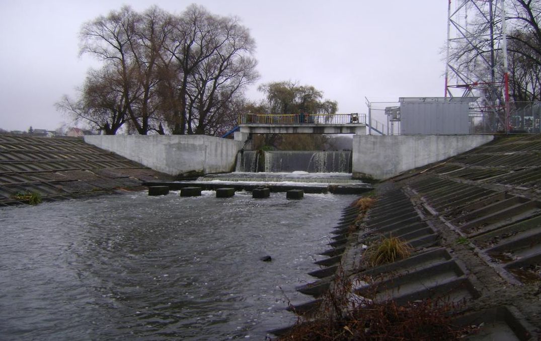
| 10:55, 1 October 2014 | Irpen-sluise.jpg (file) |  |
134 KB | One of 17 massive concrete constructions built to regulate water flow and to avoid flooding downstream (photo Vasyl Kostiuchin) | 1 |