Uploads by Embellamy
Jump to navigation
Jump to search
This special page shows all uploaded files.
| Date | Name | Thumbnail | Size | Description | Versions |
|---|---|---|---|---|---|
| 15:00, 5 January 2017 | Adit at Sharnberry mine.jpg (file) | 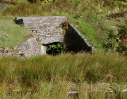 |
161 KB | Adit at the Sharnberry mine | 1 |
| 14:51, 5 January 2017 | Rookhope rispey mine breakout.jpg (file) | 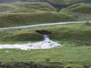 |
101 KB | Breakout near Rispey mine | 1 |
| 13:38, 5 January 2017 | Jopes Adit.jpg (file) | 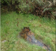 |
33 KB | Jopes Adit, South Caradon mine | 1 |
| 13:36, 5 January 2017 | Waste tips South Caradon.jpg (file) | 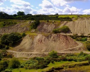 |
95 KB | Waste tips at South Caradon mine | 1 |
| 10:08, 5 January 2017 | Dolcoath Mine Red River.png (file) | 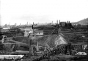 |
230 KB | Dolcoath Mine circa 1890 | 1 |
| 09:44, 5 January 2017 | Carnon County Adit.jpg (file) | 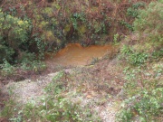 |
272 KB | River Carnon County Adit | 1 |
| 09:27, 5 January 2017 | New overflow channel Yellow Dam.jpg (file) |  |
131 KB | The new overflow channel for Yellow Dam (Dec 2015) | 1 |
| 09:26, 5 January 2017 | Water behind Old Yellow Dam.jpg (file) |  |
114 KB | Water collected behind the old Yellow Dam creating flood risk (Dec 2012) | 1 |
| 08:56, 5 January 2017 | Gategill Beck.jpg (file) | 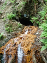 |
330 KB | The Wood End low level adit | 1 |
| 08:40, 5 January 2017 | Gunnerside Gill.jpg (file) | 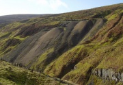 |
93 KB | Gunnerside Gill with steep spoil tips at Dolly Mine | 1 |
| 08:26, 5 January 2017 | Barney Beck.jpg (file) | 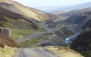 |
78 KB | Barney Beck with steep spoil tips at Old Gang Smelt Mill | 1 |
| 13:50, 11 December 2014 | Saltburn MWTS schematic.jpg (file) | 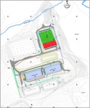 |
46 KB | 1 | |
| 13:48, 11 December 2014 | Saltburn settlement lagoons.jpg (file) | 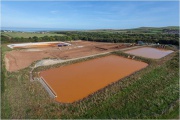 |
52 KB | 1 | |
| 13:47, 11 December 2014 | Saltburn aeration.jpg (file) | 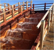 |
32 KB | Saltburn aeration cascade, part of the minewater treatment scheme | 1 |
| 09:02, 18 September 2014 | Minsterley map.jpg (file) | 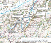 |
155 KB | 1 | |
| 14:46, 4 June 2014 | Wood adit.jpg (file) | 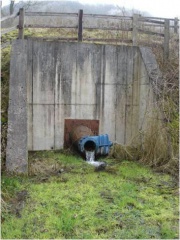 |
36 KB | 1 |