Case study:Washwalk Wetland: Difference between revisions
No edit summary |
No edit summary |
||
| Line 1: | Line 1: | ||
{{Measures | |||
|Bank and bed modifications measure=Introducing large woody debris | |||
}} | |||
{{Project overview | {{Project overview | ||
|Status=In progress | |Status=In progress | ||
| Line 90: | Line 93: | ||
{{Site | {{Site | ||
|Heavily modified water body=No | |Heavily modified water body=No | ||
Revision as of 14:12, 16 November 2024
Measures
Structural measures
| |
|---|---|
| Bank/bed modifications | Introducing large woody debris |
| Floodplain / River corridor | |
| Planform / Channel pattern | |
| Other | |
Non-structural measures
| |
| Management interventions | |
| Social measures (incl. engagement) | |
| Other | |
Project overview
| Status | In progress |
|---|---|
| Project web site | |
| Themes | Habitat and biodiversity, Land use management - agriculture, Land use management - forestry, Social benefits, Water quality |
| Country | England |
| Main contact forename | Patrick |
| Main contact surname | Hadow |
| Main contact user ID | User:Stabilize7399 |
| Contact organisation | |
| Contact organisation web site | |
| Partner organisations | |
| Parent multi-site project | |
| This is a parent project encompassing the following projects |
No |
Project summary
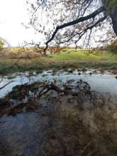
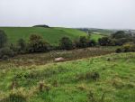
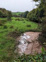
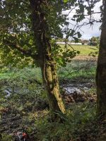
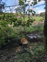
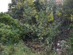
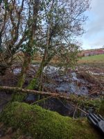
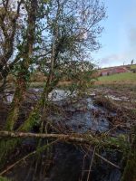
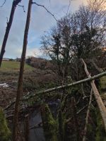
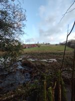
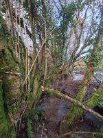
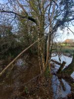
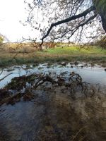
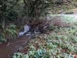
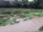
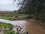
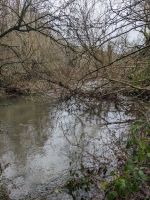
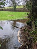
Beginning in 2022, the Washwalk Wetland project focuses on rewetting a 906m stretch of floodplain along the River Gara. The aim is to enhance the local environment by slowing water flow and reconnecting the channelised river to its floodplain through the felling of trees across and into the channel.
Monitoring surveys and results
Monitoring has been primarily based on personal observations. Family and friends involved in the project have reported positive changes, such as increased water variability and enhanced vegetation growth along the banks. The presence of indicator bird species is used to track the project's success, with hopes of attracting more wader species. So far, kingfishers, mallards, herons, and little egrets have been observed.
Lessons learnt
This is an ongoing project still in its early stages.
Image gallery
|
Catchment and subcatchment
Site
Location: 50° 20' 29.04" N, 3° 41' 51.18" W
Left click to look around in the map, and use the wheel of your mouse to zoom in and out.
Project background
Cost for project phases
Reasons for river restoration
MonitoringHydromorphological quality elements
Biological quality elements
Physico-chemical quality elements
Any other monitoring, e.g. social, economic
Monitoring documents
Additional documents and videos
Additional links and references
Supplementary InformationEdit Supplementary Information
| ||||||||||||||||||||||||||||||||||||||||||||||||||||||||||||||||||||||||||||||||||||||||||||||||||||||||||||||||||||||||||||||||||||||||||||||||||||||
