Hull and East Riding Catchment Partnership: Difference between revisions
Jump to navigation
Jump to search
No edit summary |
No edit summary |
||
| Line 3: | Line 3: | ||
{{ | {{Hull and East Riding Catchment Partnership overview}} | ||
{{Catchment Information}} | {{Catchment Information}} | ||
{{Supplementary river basin district information}} | {{Supplementary river basin district information}} | ||
Revision as of 12:53, 8 February 2018
Template:Hull and East Riding Catchment Partnership overview
Catchment Information
Supplementary Information
Edit Supplementary Information
Additional links and references
| Link | Description |
|---|---|
| http://www.catchmentbasedapproach.org/humber | CaBA website - Humber |
| http://environment.data.gov.uk/catchment-planning/ManagementCatchment/3039 | Hull and East Riding Environment Agency environmental data |
Link back to the main England country page: England
Link back to the main England background information: Country info:England - background information
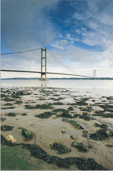
|Name=Hull and East Riding Catchment Partnership |Image=Humber.png
Image=Humber.png
Case studies in Tidal Thames
contact us
|Main contact forename=Annabel |Main contact surname=Hanson |Main contact id=Ahanson
Upload files
Supplementary Information
Edit Supplementary Information
Additional links and references
| Link | Description |
|---|---|
| http://environment.data.gov.uk/catchment-planning/ManagementCatchment/3039 | Hull and East Riding Environment Agency environmental data |
| http://www.catchmentbasedapproach.org/humber | CaBA website - Humber |
