Uploads by Mattleeson
Jump to navigation
Jump to search
This special page shows all uploaded files.
| Date | Name | Thumbnail | Size | Description | Versions |
|---|---|---|---|---|---|
| 16:07, 31 August 2012 | IMG 6362.JPG (file) | 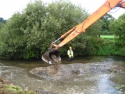 |
1,003 KB | Gravel reprofiling work in progress. Courtesy of Alasdair Maxwell - Environment Agency. | 1 |
| 10:53, 31 August 2012 | IMGP6954.JPG (file) | 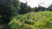 |
3.17 MB | Post-restoration channel - berm feature installed to narrow channel. Courtesy of the River Restoration Centre. | 1 |
| 10:35, 31 August 2012 | DSC01089.jpg (file) | 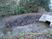 |
846 KB | Leisure Centre culvert outlet - upon completion. Courtesy of Rivers Agency (Northern Ireland). | 1 |
| 10:33, 31 August 2012 | DSC00235.jpg (file) | 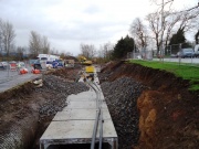 |
136 KB | Leisure Centre culvert in construction. Courtesy of Rivers Agency (Northern Ireland). | 1 |
| 10:15, 31 August 2012 | DSC09163.jpg (file) | 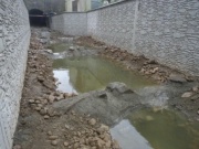 |
46 KB | Rock ramp for easement of fish passage upstream - upon completion. Courtesy of Rivers Agency (Northern Ireland). | 1 |
| 10:12, 31 August 2012 | DSC09196.jpg (file) | 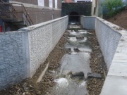 |
54 KB | Rock ramp installed at outfall of Railway Road Bridge, for easement of fish passage. Courtesy of Rivers Agency (Northern Ireland). | 1 |
| 10:09, 31 August 2012 | DSC01053.jpg (file) | 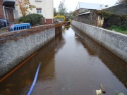 |
590 KB | Flood wall during construction. Courtesy of Rivers Agency (Northern Ireland). | 1 |
| 10:07, 31 August 2012 | DSC01141.jpg (file) | 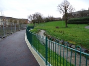 |
570 KB | Channel restoration through Anderson Park, post-restoration. New channel and banks well established. Courtesy of Rivers Agency (Northern Ireland). | 1 |
| 10:03, 31 August 2012 | DSC00738.jpg (file) | 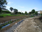 |
632 KB | Channel restoration in Anderson park prior to revegetation of banks. Courtesy of Rivers Agency (Northern Ireland). See main project photo for post-restoration channel. | 1 |
| 10:01, 31 August 2012 | DSC00394.jpg (file) | 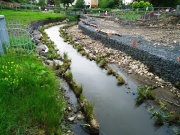 |
198 KB | Channel restoration in Anderson park during works. Gabion baskets installed to constrain lateral channel migration. Courtesy of Gareth Greer - Rivers Agency (Northern Ireland). See main project photo for post-restoration channel. | 1 |
| 09:59, 31 August 2012 | Channel restoration.JPG (file) | 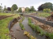 |
166 KB | Channel restoration in Anderson park during construction. Gabion baskets installed to constrain lateral channel migration. Courtesy of Gareth Greer - Rivers Agency (Northern Ireland). | 1 |
| 09:55, 31 August 2012 | P9130227 a.JPG (file) | 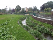 |
161 KB | Restored channel in Anderson Park - site of former pond. Channel constrained by hidden gabion baskets to restrict lateral migration. Courtesy of Gareth Greer - Rivers Agency (Northern Ireland). | 1 |
| 12:52, 30 August 2012 | MULKEAR map.jpg (file) | 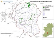 |
107 KB | Catchment map for the Mulkear River. Courtesy of the Shannon Regional Fisheries Board. | 1 |
| 12:43, 22 August 2012 | CNV00007.JPG (file) | 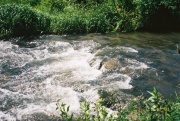 |
129 KB | One of a number of pool-riffle sequences installed on the advice of the River Restoration Centre. Courtesy of the River Restoration Centre. | 1 |
| 12:43, 22 August 2012 | CNV00020.JPG (file) | 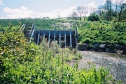 |
138 KB | View looking downstream towards dam and outlet. Courtesy of the River Restoration Centre. | 1 |
| 12:42, 22 August 2012 | CNV00014.JPG (file) | 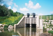 |
95 KB | View look upstream towards outlet of flood storage reservoir, with flow control structure. Courtesy of the River Restoration Centre. | 1 |
| 12:41, 22 August 2012 | CNV00004.JPG (file) | 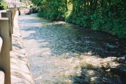 |
113 KB | View from newly constructed flood wall in Harbertonford - looking downstream. Courtesy of the River Restoration Centre. | 1 |
| 12:16, 22 August 2012 | Harbertonford Project Works.png (file) |  |
101 KB | Illustration of proposed works. Courtesy of Bradley et al.(Available at http://www.britishdams.org/2004conf/papers/bradley.PDF). | 1 |
| 08:59, 22 August 2012 | 2000 & 2004 Channels.kml (file) | 17 KB | 1 | ||
| 08:48, 22 August 2012 | 2004 Diversion.kml (file) | 6 KB | Map showing course of 2000 diversion (orange) and 2004 diversion channels (blue). Courtesy of Google Earth. | 1 | |
| 08:42, 22 August 2012 | 2004 Diversion 2.kml (file) | 2 KB | Map showing course of 2004 diversion (during construction). Map courtesy of Google Earth. | 1 | |
| 15:55, 21 August 2012 | Img 2990.jpg (file) | 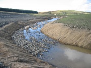 |
776 KB | Diversion channel (2004) showing geotextile bank reinforcement, profiled gravel bed and in-channel boulder placement for habitat enhancement. Courtesy of the River Restoration Centre. | 1 |
| 15:52, 21 August 2012 | Img 2986.jpg (file) | 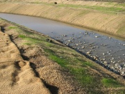 |
1,003 KB | Diversion channel (2004) showing geotextile bank reinforcement and profiled gravel bed for habitat enhancement. Courtesy of the River Restoration Centre. | 1 |
| 15:48, 21 August 2012 | 300mldsjul2000.jpg (file) | 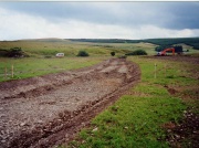 |
279 KB | Channel diversion in construction (2000). Courtesy of the River Restoration Centre. | 1 |
| 15:44, 21 August 2012 | Nith23a.jpg (file) | 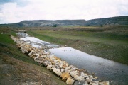 |
182 KB | Diversion channel prior to connection - rip-rap and riffle visible (2000). Courtesy of the River Restoration Centre. | 1 |
| 15:42, 21 August 2012 | 300mldsnov2000.jpg (file) | 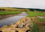 |
308 KB | Diverted channel once connected (2000). Courtesy of the River Restoration Centre. | 1 |
| 11:12, 21 August 2012 | Nith Diversion.png (file) | 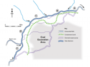 |
102 KB | Plan of Nith channel diversion. From RRC Manual of Techniques (2002) - courtesy of the River Restoration Centre. | 1 |
| 15:53, 17 August 2012 | KENTCHURCH POST.jpg (file) | 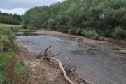 |
61 KB | Former backwater, upstream of Kentchurch Weir - now significantly drained and free-flowing. Courtesy of Atkins. | 1 |
| 15:52, 17 August 2012 | KENTCHURCH PRE.jpg (file) | 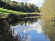 |
45 KB | Backwater upstream of Kentchurch weir - prior to removal. Courtesy of Atkins. | 1 |
| 15:23, 17 August 2012 | KENTCHURCHWEIR1.jpg (file) | 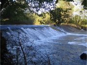 |
848 KB | The 2 metre high Kentchurch Weir, prior to removal. Courtesy of Atkins. | 1 |
| 14:49, 17 August 2012 | EASTCHISENBURY1.jpg (file) | 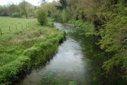 |
154 KB | Trial restoration site - 4 years on. Courtesy of Cain Bio-Engineering. | 1 |
| 13:55, 17 August 2012 | P5110148.JPG (file) | 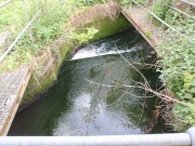 |
243 KB | One of the five weir structures to be lowered during the project - pre-works. Courtesy of Wild Trout Trust and the Environment Agency. | 1 |
| 12:49, 17 August 2012 | P5250283.JPG (file) | 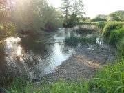 |
276 KB | Channel 2900m upstream of lowered impounding weir structures. Note significant driop in water level and exposure of gravel riffle - now spawned on by chub. Courtesy of Wild Trout Trust and the Environment Agency. | 1 |
| 12:48, 17 August 2012 | RIMG0192.JPG (file) | 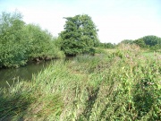 |
352 KB | Channel 2900m upstream of impounding weir structures, prior to lowering. Courtesy of Wild Trout Trust and the Environment Agency. | 1 |
| 12:46, 17 August 2012 | PA120219.JPG (file) | 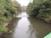 |
548 KB | 900m upstream of lowered impounding weir structures. Note significant reduction in backwater effect. Courtesy of Wild Trout Trust and the Environment Agency. | 1 |
| 12:45, 17 August 2012 | PB110093.JPG (file) | 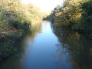 |
521 KB | Backwater effect - 900m upstream of impounding weir structures. Courtesy of Wild Trout Trust and the Environment Agency. | 1 |
| 12:41, 17 August 2012 | PB150207.JPG (file) | 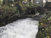 |
538 KB | Small fixed-crest weir after lowering. Courtesy of Wild Trout Trust and the Environment Agency. | 1 |
| 12:40, 17 August 2012 | P3200027.JPG (file) | 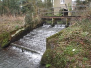 |
259 KB | Small fixed-crest weir prior to lowering. Courtesy of Wild Trout Trust and the Environment Agency. | 1 |
| 15:20, 9 August 2012 | Shopham Loop1.jpg (file) | 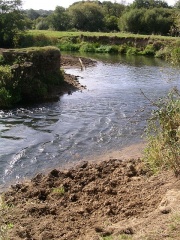 |
138 KB | 1 | |
| 15:18, 9 August 2012 | Shopham Loop.jpg (file) | 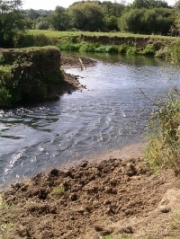 |
67 KB | 1 | |
| 11:07, 9 August 2012 | Inchewan Burn.jpg (file) | 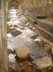 |
59 KB | Reno mattresses replaced with cobbles and boulders, concreted in place. | 1 |