File:Screenshot 2022-08-06 11.52.52.png: Difference between revisions
Jump to navigation
Jump to search
Adam Hillier (talk | contribs) (Digital elevation map showing the perched Kensworth Quarry chalk pit adjacent to the upper reaches of the Ver Valley (Chilterns Chlak Stream) which has become dry due to unsustainable water extraction.) |
(No difference)
|
Latest revision as of 18:02, 2 September 2022
Digital elevation map showing the perched Kensworth Quarry chalk pit adjacent to the upper reaches of the Ver Valley (Chilterns Chlak Stream) which has become dry due to unsustainable water extraction.
File history
Click on a date/time to view the file as it appeared at that time.
| Date/Time | Thumbnail | Dimensions | User | Comment | |
|---|---|---|---|---|---|
| current | 18:02, 2 September 2022 | 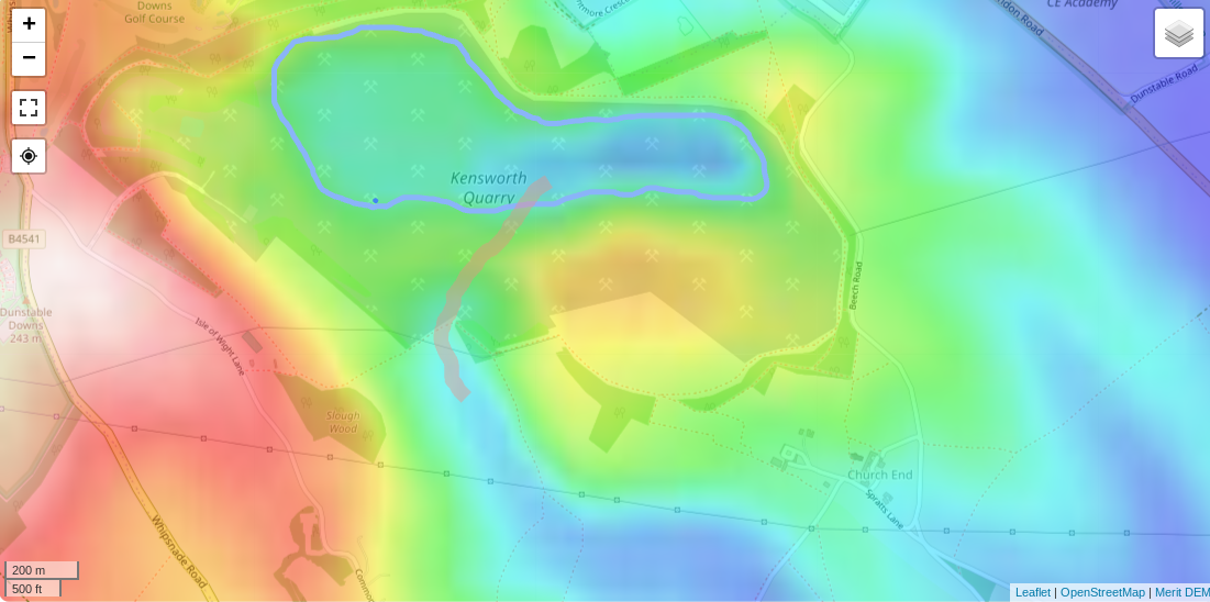 | 1,101 × 548 (621 KB) | Adam Hillier (talk | contribs) | Digital elevation map showing the perched Kensworth Quarry chalk pit adjacent to the upper reaches of the Ver Valley (Chilterns Chlak Stream) which has become dry due to unsustainable water extraction. |
You cannot overwrite this file.
File usage
There are no pages that use this file.