Case study:Ddu Restoration Project: Difference between revisions
No edit summary |
No edit summary |
||
| Line 59: | Line 59: | ||
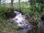
{{Case study image | {{Case study image | ||
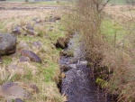
|File name=Restoredsection2006.jpg | |File name=Restoredsection2006.jpg | ||
}} | |||
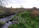
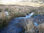
{{Case study image | |||
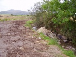
|File name=Gravelreintroduction.JPG | |||
}} | |||
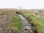
{{Case study image | |||
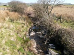
|File name=2016RestoredSection.JPG | |||
}} | }} | ||
{{Image gallery end}} | {{Image gallery end}} | ||
Revision as of 13:07, 28 November 2018
This case study is pending approval by a RiverWiki administrator.
Project overview
| Status | In progress |
|---|---|
| Project web site | |
| Themes | Fisheries, Habitat and biodiversity, Hydromorphology, Land use management - agriculture, Monitoring |
| Country | Wales |
| Main contact forename | Huw |
| Main contact surname | Jones |
| Main contact user ID | User:Huw Jones |
| Contact organisation | Natural Resources Wales |
| Contact organisation web site | http://naturalresources.wales/ |
| Partner organisations | Snowdonia National Park Authority, Welsh Government |
| Parent multi-site project | |
| This is a parent project encompassing the following projects |
No |
Project summary
This river was badly damaged by dredging / drainage operations in 1995-6. Investigation work led to the discovery of a previously unknown population of Margaritifera margaritifera - the population was badly damaged by this work.
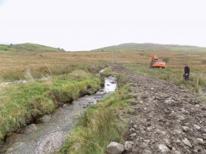
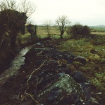
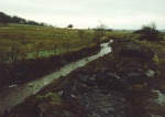
Work to restore some sections of the Afon Ddu has been carried out by legacy Environment Agency Wales and Countryside Council for Wales and partner organisation Snowdonia National Park Authority since 2005. The bulk of this work concentrated on fencing out the river to reduce livestock access, but a short section of the most damaged section was restored in 2006.
The river was designated as a pearl mussel Site of Special Scientific Interest in 2010/11.
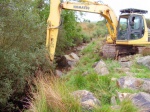
Since the formation of Natural Resources Wales, further work has been carried out with the aim of restoring in channel geomorphology, through the replacement of boulders and gravel seeding with an objective of improving the habitat for salmonids and Margaritifera margaritifera.
The small catchment size means that close co-operation with landowners is likely to be more effective than in larger, dispersed, catchments in terms of achieving water quality objectives.
Approx. £90,000 has been spent on fencing and habitat works on this river since 2005 by the partner organisations.
This river is an UK Biodiversity Plan Priority River for Margaritifera margaritifera, along with two other Welsh rivers.
Monitoring surveys and results
Long term monitoring of Margaritifera margaritifera numbers in this river indicate a continuing decline in adult numbers, in common with other Welsh rivers. In the Afon Ddu, this has been mostly linked to unsuitable river habitat, both due to physical modifications and some issues with water quality.
Monitoring of the success of the restoration work will in future be linked to NRWs use of the Redox potential measuring technique to determine the quality and cleanliness of the interstitial gravel which the juvenile stage of Margaritifera margaritifera rely upon. Monitoring indicates that the encystment stage of the Margaritifera margaritifera is occurring normally in this river, and that juvenile salmonid host numbers are good.
Lessons learnt
Landowner buy in and suitable catchment management is essential, and there is a good uptake of the Welsh Government's Glasdir Agri-Environment scheme in this small catchment.
Successful captive rearing of juvenile mussels at the NRW Aquaculture Unit at Cynrig is considered to be an important future development to secure the future of the species.
Due to the sensitive species present in this river, a spread out one step at a time approach to restoration has been appropriate.
Image gallery
|
Catchment and subcatchment
Site
Project background
Cost for project phases
Reasons for river restoration
Measures
MonitoringHydromorphological quality elements
Biological quality elements
Physico-chemical quality elements
Any other monitoring, e.g. social, economic
Monitoring documents
Additional documents and videos
Additional links and references
Supplementary InformationEdit Supplementary Information
| ||||||||||||||||||||||||||||||||||||||||||||||||||||||||||||||||||||||||||||||||||||||||||||||||||||||||||||||||||||||||||||||||||||||||||||||||||||||||||||||||||||||||||||||||||

