Uploads by Alexrrc
Jump to navigation
Jump to search
This special page shows all uploaded files.
| Date | Name | Thumbnail | Size | Description | Versions |
|---|---|---|---|---|---|
| 11:41, 25 October 2016 | Nar meander reconnection.jpg (file) | 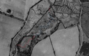 |
92 KB | The red lines mark the new connecting channels. The blue lines mark the “lost” relic channel. | 1 |
| 13:41, 7 December 2016 | Floodplain Forest 2.jpg (file) |  |
207 KB | 1 | |
| 13:42, 7 December 2016 | Floodplain Forest 1.jpg (file) |  |
52 KB | 1 | |
| 13:49, 7 December 2016 | Floodplain-nr---planting-plan.png (file) | 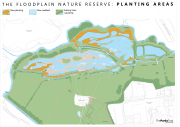 |
1.41 MB | 1 | |
| 09:25, 19 December 2016 | Queensbury Park 181215 001.JPG (file) | 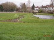 |
672 KB | Queensbury Park | 1 |
| 13:56, 19 December 2016 | Avon.jpg (file) | 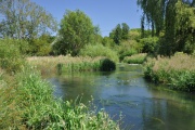 |
320 KB | Avon | 1 |
| 10:11, 20 December 2016 | Shrimp.jpg (file) | 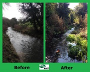 |
1.79 MB | 1 | |
| 13:36, 4 January 2017 | Trent Rivers Trust.jpg (file) |  |
8 KB | 1 | |
| 14:03, 4 January 2017 | Download.jpg (file) |  |
11 KB | 1 | |
| 15:51, 5 January 2017 | Devonpollution1.png (file) | 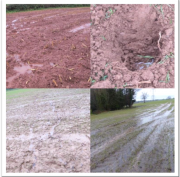 |
933 KB | 1 | |
| 16:12, 5 January 2017 | CPAF.png (file) |  |
23 KB | 1 | |
| 16:29, 5 January 2017 | Ebbw1.JPG (file) | 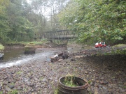 |
3.58 MB | After the removal of the fallen tree and debris | 1 |
| 16:30, 5 January 2017 | Ebbw2.JPG (file) | 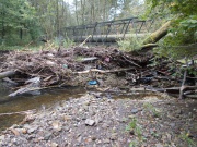 |
3.56 MB | The fallen tree across the River Ebbw | 1 |
| 10:52, 6 January 2017 | Sheephouse fence.jpg (file) |  |
127 KB | 1 | |
| 10:53, 6 January 2017 | Sheephouse.jpg (file) |  |
124 KB | 1 | |
| 12:17, 6 January 2017 | Channel1.jpg (file) | 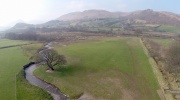 |
1.29 MB | 1 | |
| 12:17, 6 January 2017 | Bars forming in new channel.JPG (file) |  |
3.18 MB | 1 | |
| 12:18, 6 January 2017 | Box cut construction Reach 3 moving up from Hullary Wood.JPG (file) |  |
3.18 MB | 1 | |
| 12:18, 6 January 2017 | Commemorative Plaque.JPG (file) | 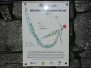 |
3.1 MB | 1 | |
| 12:18, 6 January 2017 | Confluence.jpg (file) |  |
1.51 MB | 1 | |
| 12:18, 6 January 2017 | Dry stone wall failure immediately ds UU Pipe 291014.JPG (file) |  |
3.27 MB | 1 | |
| 12:18, 6 January 2017 | D-s Syphon 230912.jpg (file) | 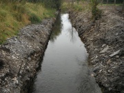 |
3.24 MB | 1 | |
| 12:19, 6 January 2017 | LowerChannel.jpg (file) | 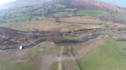 |
1.37 MB | 1 | |
| 12:19, 6 January 2017 | LowerChannel2.jpg (file) |  |
1.37 MB | 1 | |
| 12:19, 6 January 2017 | New substrate at lower end of Reach 3 as climb out of Hullary Wood.JPG (file) |  |
3.21 MB | 1 | |
| 12:19, 6 January 2017 | OldChannel.jpg (file) |  |
1.32 MB | 1 | |
| 12:19, 6 January 2017 | Pond1.jpg (file) |  |
1.65 MB | 1 | |
| 12:19, 6 January 2017 | Reach 1 ptc confluence.JPG (file) |  |
3.17 MB | 1 | |
| 12:20, 6 January 2017 | Reach 3 looking us to Oak tree 310814.JPG (file) |  |
3.15 MB | 1 | |
| 12:20, 6 January 2017 | Riverbend1.jpg (file) | 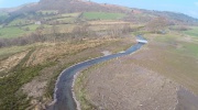 |
1.48 MB | 1 | |
| 13:11, 10 January 2017 | Norfolk Catchment Photo.png (file) |  |
886 KB | 1 | |
| 14:48, 10 January 2017 | MRA in action 2009.jpg (file) | 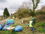 |
573 KB | 1 | |
| 12:41, 11 January 2017 | Buffer strip development.jpg (file) | 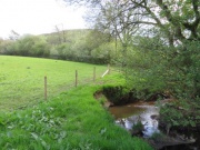 |
40 KB | 1 | |
| 12:41, 11 January 2017 | Livestock crossing point.jpg (file) | 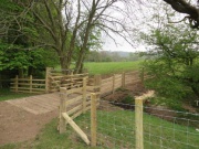 |
45 KB | 1 | |
| 12:42, 11 January 2017 | Large buffer strip.jpg (file) | 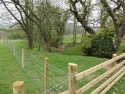 |
46 KB | 1 | |
| 12:42, 11 January 2017 | Heavy poaching - before.jpg (file) |  |
51 KB | 1 | |
| 12:42, 11 January 2017 | Livestock drinking bay - after.jpg (file) |  |
50 KB | 1 | |
| 12:42, 11 January 2017 | Livestock drinking bay & tree planting.jpg (file) |  |
38 KB | 1 | |
| 12:43, 11 January 2017 | Riparian buffer strip & drinking bay.jpg (file) |  |
58 KB | 1 | |
| 12:43, 11 January 2017 | Cattle pasture pumps.jpg (file) | 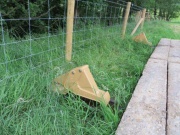 |
51 KB | 1 | |
| 12:43, 11 January 2017 | Tree planting.jpg (file) | 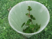 |
34 KB | 1 | |
| 15:01, 11 January 2017 | Rochdale-3.jpg (file) | 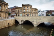 |
275 KB | 1 | |
| 15:29, 11 January 2017 | Bathgate sites (2).jpg (file) | 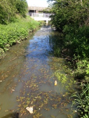 |
3.72 MB | 1 | |
| 15:31, 11 January 2017 | Bathgate.jpg (file) |  |
3.72 MB | 1 | |
| 09:47, 16 January 2017 | CPAF5.jpg (file) | 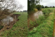 |
2.11 MB | 1 | |
| 15:37, 16 January 2017 | Weir before work 2010.jpg (file) |  |
134 KB | 1 | |
| 15:39, 16 January 2017 | View downstream to weir after removal 22-3-16.JPG (file) |  |
1.25 MB | 1 | |
| 15:40, 16 January 2017 | Weir before removal.jpg (file) | 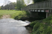 |
134 KB | 1 | |
| 15:40, 16 January 2017 | Weir removal in progress 21-3-16.jpg (file) |  |
1.88 MB | 1 | |
| 15:40, 16 January 2017 | View downstream to weir during removal 21-3-16.jpg (file) |  |
1.29 MB | 1 |